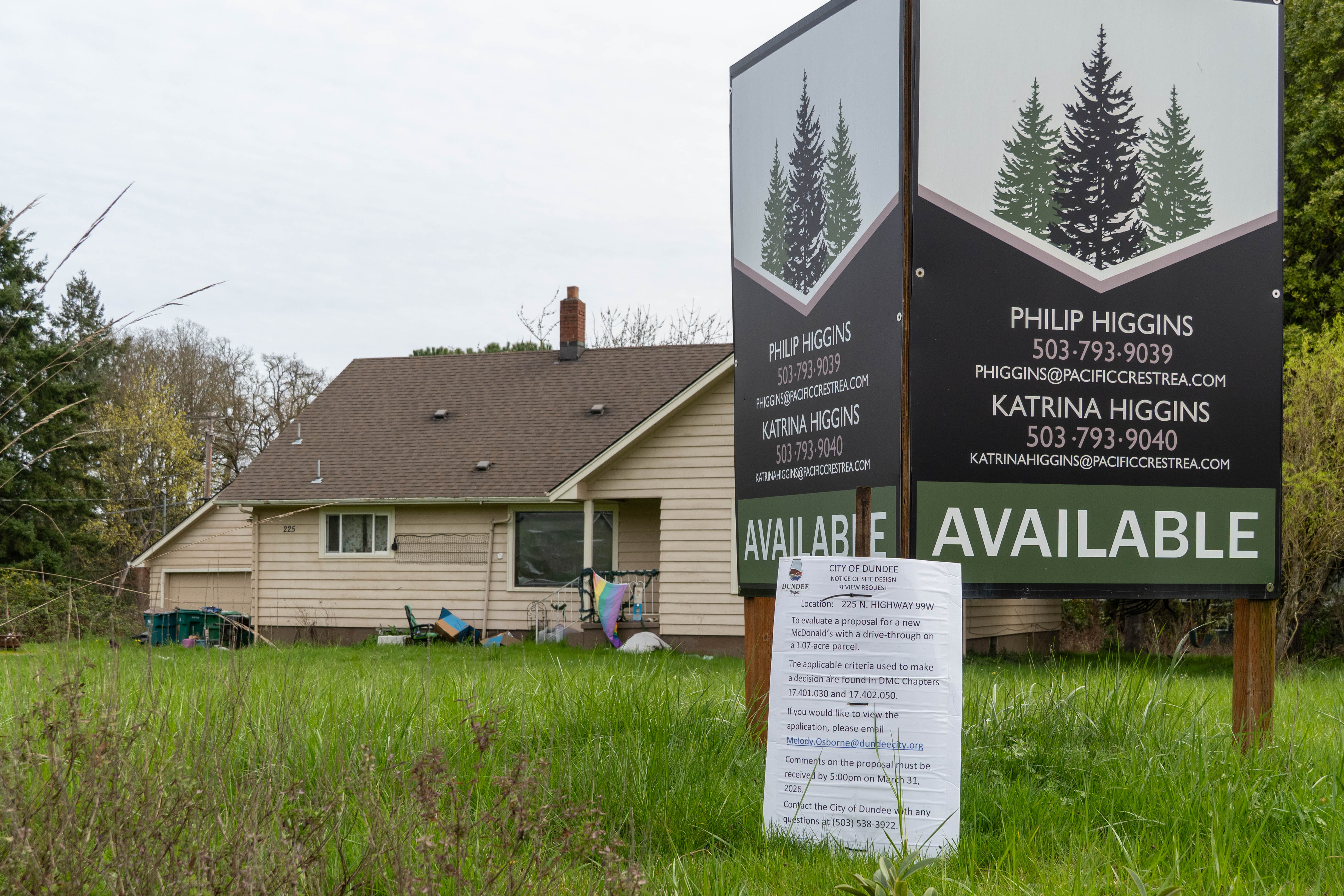
NEWBERG, Ore. — Ewing Young Park’s 50 acres include about 11 acres of undeveloped property on its west side, which is inaccessible due to the lack of a functioning pedestrian bridge over Chehalem Creek, a topic of debate at the Chehalem Parks and Recreation District since 2018.
Get These Stories First, Right in your Inbox
We send out a FREE weekly newsletter featuring the previous week’s biggest stories, upcoming events, and other local happenings. Our email newsletter is the first to know!
The CPRD board discussed updates on the bridge project at its regular meeting Thursday, Oct. 23. Members agreed to move forward with the project, gather input from nearby residents, and return to the Yamhill County Board of Commissioners for further discussion.
“All of the folks within the city of Newberg … and within our district want to be able to access the property that they own, and I think that’s really important,” Board President Jim McMaster said. “The park has been really loved by our community, and I know this adoption of getting folks over on the other side would also be important.”
CPRD Board Secretary-Treasurer Matt Smith said progress has been slow, especially due to litigation.
“This plan was adopted by the previous board, and there are five steps … we’re still on step one, and there are reasons why we’re still on step one,” Smith said. “The delay is something I haven’t been happy with necessarily, but it’s also something that’s been, for the most part, unavoidable.”
Board members Brandon Slyter and Jason Fields said they still want neighbor input.
“We’re going to build this bridge … we know that we’re going to move forward,” Fields said. “It’s just a matter of how we’re going to get there. It’s not likely we’re going to have homeless who are going to move in there.”
Ewing Young Park Bridge Project Overview
Staff recommended that the board deliberate on the provided information and advise staff of any desired changes to the project’s direction.
In 2019, the park’s master plan proposed constructing a bridge to create access to the 11-acre western portion. According to staff documents, the bridge would allow the development of a half-mile of connecting trails and expand the existing disc golf course. However, most of the property lies within a 100-year floodplain, which limits other types of development, staff said.
Currently, the board has asked staff to complete additional outreach to nearby residents and to request a legislative code amendment from the County Commissioners. From there, staff would need to submit land use applications before construction could begin. However, this approach would give the county more control than the CPRD.
The board considered several other options, including reinitiating a Land Use Board of Appeals (LUBA) enforcement process, which could increase litigation costs and strain the district’s relationship with the county; amending the urban growth boundary and annexing the 11 acres into the city, which would add permitting costs and extend the project timeline; and exploring new, smaller design alternatives that do not qualify as a “transportation facility” under county interpretation, which would abandon money already spent and require new land use applications with both the city and county.
A transportation facility is defined as any physical structure that moves or assists in the movement of people or goods, excluding electricity, sewage, and water systems.
“We think the definition of transportation facility that is used right now with the county is problematic — it is overbroad,” said CPRD Superintendent Clay Downing. “We’re hoping that upon that ask, they’ll direct their staff to fix that so it’s not constraining in a way that’s not intended. We understand it’s an existing park; parks are an allowed use in that zoning district, and our feeling is there’s not really a problem with the type of facility being built.”
Downing said too much time has passed to pursue the LUBA appeal. CPRD would have to reapply and be denied again by the county before filing another appeal. McMaster said returning to a LUBA appeal would be a last resort.
Annexing or expanding the urban growth boundary has its own complications.
“We can’t just do an annexation because we live in Oregon, and it’s a lovely spot with land use rules,” Downing said. “We did some research … based on the size of the property, if we could do a more expedited small parcel thing … it doesn’t qualify, it’s too big for any of that.”
He added that the CPRD would have to research all possible annexations for Newberg and proceed in hierarchical order.
The fifth alternative is to abandon the project — and with it, access to the 11 acres of public property and the money already spent on the bridge. To date, CPRD has spent $92,682 on engineering, design, and land use work.
The Process of Building a Bridge
Next, the CPRD plans to hold open houses, mail information to nearby residents, and complete public engagement activities required for land use applications.
The district plans outreach activities in November and December, including an in-person open house Nov. 19 and a virtual open house Nov. 20, to gather public input on several CPRD projects.
“County commissioners said they would really like to hear from residents whose houses border the park,” Downing said.
The district will then present the results and request a legislative code amendment from the Yamhill County Commissioners to change the 11 acres to a conditional use code. That would allow the development of transportation facilities owned by public bodies that have no impact on local agriculture.
“This is something that can be developed amicably between all sides,” Smith said. “And honestly, it’s a good way to template how we can look into these sorts of projects where you have neighbors with parks and concerns.”
After that, CPRD plans to submit a land use application to the county to amend the comprehensive plan and zoning maps, and then apply for a conditional use permit with the city under the new code provision. If all are approved, CPRD can move forward with project bidding.
Project Timeline
Discussions surrounding the Ewing Young Park bridge project began in 2018 between the city and the county. By March 2019, an environmental site analysis and master plan were completed, with NV5 Engineering selected to design the bridge in September 2021. In 2022, the updated cost estimate ranged from $215,000 to $254,000.
“If this comes out to half a million dollars, I don’t know if it’s worth it to build this bridge,” Fields said. “I think cost is going to be a factor.”
In March 2023, Yamhill County denied the land use application for the bridge because it was classified as a transportation facility rather than a park improvement. CPRD appealed the decision, but the appeal was denied. The district was prepared to appeal again to LUBA, but the process was halted in July 2023.
By February 2025, the county and CPRD had resumed discussions about amending the county’s legislative code related to the project denial.
Background
At the Aug. 28, 2025 CPRD board meeting, Newberg resident Ed Fredenberg encouraged the district to revisit the bridge proposal, citing other county parks with bridges built by the county rather than the CPRD.
Yamhill County Planning Director Ken Friday said those bridges were built before the land use decision affecting the Ewing Young Park bridge was issued Dec. 20, 2018.
According to CPRD research, more than 20 recently permitted properties in AF-10 zones, which stands for agriculture/forestry. Parks are defined under that zoning as “any public or private land reserved for recreational, educational, cultural, or open space uses,” not including footbridges or other transportation facilities.
For example, the district cited a vehicle and footbridge at Deer Creek Park, constructed in 2023 and allowed as an “accessory use” — defined as a use incidental and secondary to the principal use on the same parcel.
“Rezoning this to park land is probably a best practice our district should be doing for these pieces of land — making sure they’re zoned correctly for the use we intend,” Smith said. “AF-10 in this case is simply not correct for this land. It can’t be farmed, it’s landlocked. We need to zone things correctly, and that can help avoid these kinds of issues in the future.”
Friday submitted documents showing that bridge development would occur within a floodplain, requiring a floodplain development permit.
The CPRD maintains that trails and parks are distinct land uses.
“We need to depoliticize these kinds of things,” Smith said. “We need to de-litigate these kinds of things, and I believe this plan can do that.”
Watch the full meeting here:https://www.youtube.com/watch?v=Es0kW07N-qU